Review · TREKKING
Santiago: Longueira, Pico de Antónia & Monte Tchota Trek
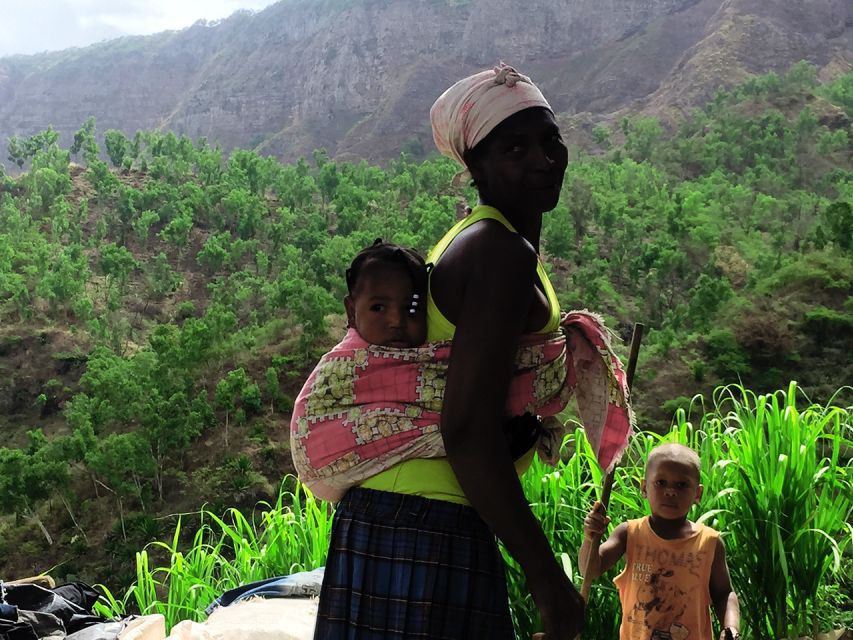
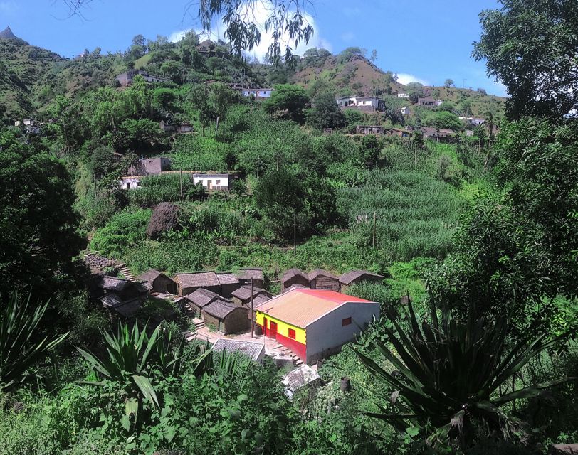
Santiago’s highest peak is the main event here, but the day begins with something just as valuable: a close look at village life in Longueira. You visit a grogue distillery, a primary school, and Lemba Lemba Bar before trading village lanes for a steep mountain path toward Pico de Antónia.
I like the mix of local contact and serious hiking, and I like that the views can stretch toward Maio Island and Fogo’s volcano. The catch is simple: this is a hard trek, not a casual walk. Steep ground, narrow paths, and slippery sections make good shoes, water, and walking experience essential.
Key points to know before booking
- A 1,394-meter summit: Pico de Antónia is Santiago’s highest point, with wide views toward São Jorge Valley, Maio, and Fogo.
- Longueira before the trail: Visit a grogue distillery, school, and local bar for a grounded look at village life.
- Two route options: Choose between roughly 9 kilometers and 6 hours, or 6 kilometers and 4 hours, depending on the route arranged.
- A demanding one-way hike: Expect narrow, sloping paths, substantial elevation gain, and a descent that can be very slippery.
- Monte Tchota finish: The walk ends in a natural park known for native plants, animals, and birdlife.
- Praia transfers included: Pickup and drop-off at your Praia accommodation make this easier to fit into a Santiago itinerary.
Why this Santiago trek is different
Many mountain outings give you a trail and a viewpoint. This one gives you a full day that links rural life, high country, and protected nature. That combination makes the $106 price easier to understand, especially since transport from Praia, a guide, a picnic, and liability insurance are included.
The day does ask a lot from you physically. The longer route covers about 9 kilometers, with roughly 1,050 meters of ascent and 600 meters of descent. The shorter option is about 6 kilometers, with approximately 585 meters of ascent and 186 meters of descent. Both routes are one-way, so this is not a simple walk up and back on a broad trail.
The figures matter. A 1,050-meter climb over a day is a real mountain outing, even if the distance looks modest on paper. The route quality is described as sloping and narrow, and the last part toward the summit can be particularly steep. I would treat the difficulty rating of very difficult for the longer route and difficult for the shorter route as meaningful, not decorative wording.
A few more treks around the world worth a look
- Mount Etna: Trek to 3000m with cable car and 4×4
★ 4.6 · 3,823 reviews - Bali: Mount Batur Sunrise Trek With Guide and Breakfast
★ 4.8 · 3,461 reviews - From Chania: Full-Day Samaria Gorge Trek Excursion & Guide
★ 4.6 · 3,191 reviews
Longueira: grogue, school, and village life
Your day starts with pickup at your hotel in Praia, followed by transport to Longueira. The village stop gives the trip a human beginning before the mountain work starts.
At the grogue distillery, you can see the local rum-making tradition and meet people connected to the village. Grogue is a Cape Verdean sugarcane spirit, and this visit adds useful context to the agricultural life around Santiago. The stop is not just a tasting break. It shows how a local product connects fields, work, and community.
You also visit the primary school and Lemba Lemba Bar. These are modest stops, but that is part of their value. You get a closer look at everyday places rather than only scenic viewpoints built for visitors. Your guide helps make the contact easier, particularly if you do not speak Portuguese.
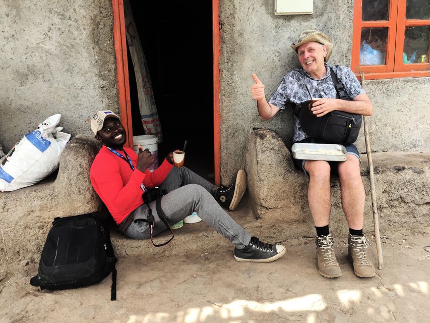
The guides named for this experience include Ricardo, Djibril, and Admilson Garcia. Admilson is described as knowing the area and many of its residents, which can make the Longueira section feel more connected to the place. Ricardo is also noted for a friendly manner, while Djibril is described as attentive and careful with the organization of the hike.
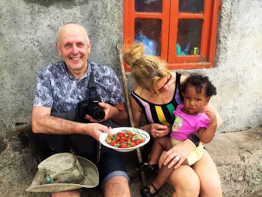
From December through May, the route may pass among strawberry fields, with a picnic along the way. That seasonal detail matters. You should not expect the exact same view or agricultural setting in every month, but the cooler-season timing can add interest to the early part of the route.
The climb to Pico de Antónia
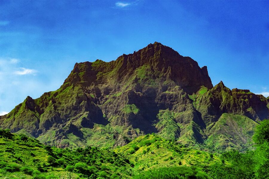
After Longueira, the outing becomes a proper mountain trek. Pico de Antónia reaches about 1,394 meters, or 4,573 feet, making it the highest point on Santiago.
The ascent is the heart of the experience. You move through areas where endemic plants grow, and you may spot local animals and bird species, including birds considered at risk. The natural setting is one reason this trek is more rewarding than a straightforward summit transfer. The scenery changes as you gain height, and the guide can point out details you might otherwise walk past.
Do not expect an easy paved route. The path is narrow and tilted in places. The final meters are especially steep, so you need to keep a steady pace and save some energy for the upper section. The route is suitable for experienced hikers, not for someone looking for a gentle introduction to walking in Cape Verde.
The included picnic is practical rather than elaborate: a sandwich, fruit, and a soft drink. That is enough for a short break, but bring extra water and do not count on the picnic as your only food for a long, strenuous day. The tour specifically asks you to bring water, and I would take that instruction seriously.
At the high point, the reward is a broad view over the São Jorge Valley. On a clear day, you may also see Maio Island and Fogo Island’s volcano. Visibility depends on conditions, so these distant views should be treated as a possibility rather than a promise. Still, the chance to frame Fogo’s volcanic peak from Santiago gives you a memorable photo opportunity.
Monte Tchota and the slippery descent
The trek finishes in Monte Tchota, also written as Monte Txota. This natural park is valued for its relatively untouched setting and its plants, animals, and birdlife.
The finish gives the day a good change of mood. Pico de Antónia supplies the summit goal, while Monte Tchota provides a quieter nature setting. Look for native vegetation and bird species as you walk, but keep your expectations realistic. This is not presented as a specialist wildlife tour, and sightings are not guaranteed.
The descent deserves as much respect as the climb. Sloping, loose, or slippery ground can make going down slower and less comfortable than going up. One account of the route found the return more difficult because of the slippery conditions. That is why walking sticks are strongly recommended, and it is worth asking if the local team can provide them. One guide team did provide sticks, which made a useful difference.
Good footwear is not optional. The instructions call hiking shoes a must, and I agree. Trainers with smooth soles are a poor match for a narrow mountain path. Hiking trousers are also recommended, especially from August through November, when vegetation may make long trousers more comfortable.
Same trailhead, a different route:
- Mount Etna: Summit Crater Trek with Cable Car
★ 4.8 · 1,875 reviews - La Palma: Tajogaite Volcano Guided Trek
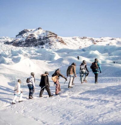
★ 4.8 · 1,810 reviews - Skaftafell: Ice Cave Tour and Glacier Hike
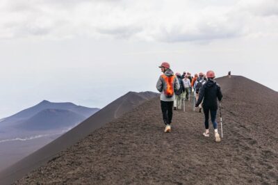
★ 4.5 · 1,746 reviews - Etna: summit craters trekking with volcano guide 3350mt
★ 4.7 · 1,712 reviews
Choosing between the two routes
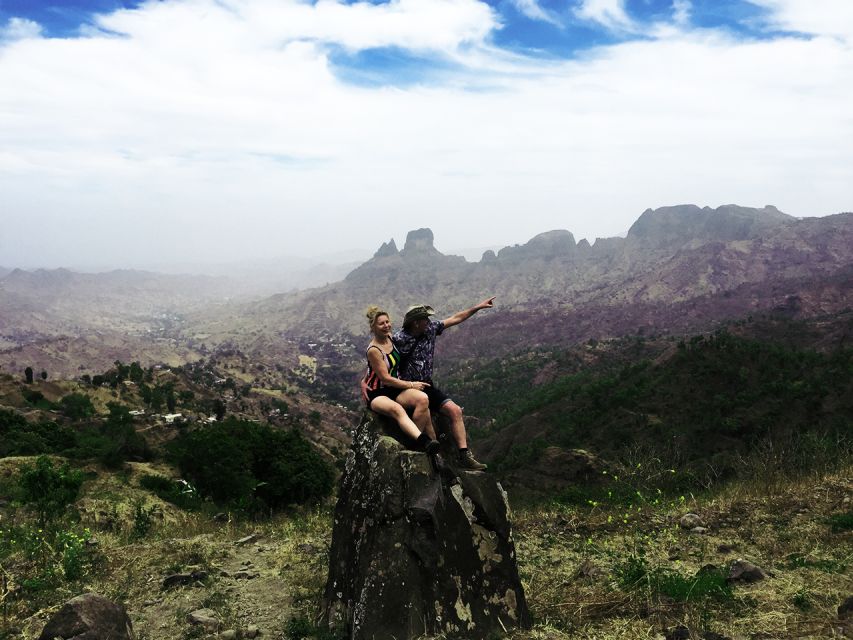
The experience has two route profiles, and the difference is important.
The longer option covers about 9 kilometers, takes around 6 hours of walking, and reaches approximately 1,390 meters. It includes about 1,050 meters of ascent and 600 meters of descent. This is the very difficult version, with a narrow, tilted trail.
The shorter option covers about 6 kilometers, takes around 4 hours, and reaches approximately 1,160 meters. It includes about 585 meters of ascent and 186 meters of descent. It is rated difficult, not easy, but it is the more sensible choice if you want the mountain experience without the full summit challenge.
The route assigned to you may depend on conditions and the tour arrangement, so ask which option is planned before you set out. If you are an experienced hiker who regularly handles steep paths, the longer route may be the better use of your day. If your walking experience is limited, the shorter route is worth discussing.
The shared group departure requires at least two participants. If that minimum is not reached, the operator may suggest another date, offer a private departure for an extra fee, or cancel with a full refund. That policy is worth knowing before you build a tightly scheduled day around the outing.
Guides, transport, and the $106 value
Hotel pickup and drop-off in Praia remove a practical headache. You do not need to arrange a taxi to a remote trailhead, and the minivan transfer lets you conserve energy for the climb.
The guide is the most important part of a hike like this. A good guide helps with pacing, explains the plants and wildlife, points out photo locations, and offers steady advice on tricky ground. The named guides associated with the trip include Ricardo, Djibril, and Admilson Garcia, and the feedback about them is consistently warm. Their friendliness matters, but their help on steep and slippery sections matters more.
At $106 per person, the tour is not the cheapest way to see Santiago’s mountains. It does, however, bundle transport, guiding, a picnic, insurance, and the Longueira visits into one demanding day. If you tried to organize all of that independently, the logistics could be awkward, especially for the one-way route.
I see the strongest value for visitors staying in Praia who want both cultural contact and a serious walk. If you only want a viewpoint and a short stroll, this is too much tour. If you want a guided day that reaches high ground and includes places you would be unlikely to arrange on your own, the price is easier to justify.
Who should book this trek?
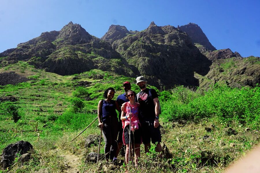
I would recommend it to fit hikers who enjoy steep climbs, uneven trails, and long days outside. It also suits you if village contact matters as much as scenery, since Longueira is not treated as a quick photo stop.
You should think twice if you have knee trouble, dislike narrow paths, or are not comfortable walking downhill on slippery ground. The route does not sound technical in the mountaineering sense, but it is physically demanding and can be tiring.
Pack a hat, sunscreen, water, hiking shoes, and walking sticks if you have them. Wear hiking trousers, especially from August through November. The tour is offered in English, Spanish, French, and Portuguese, which gives you a better chance of finding a guide who can explain the route clearly.
My call: book it for the mountain day
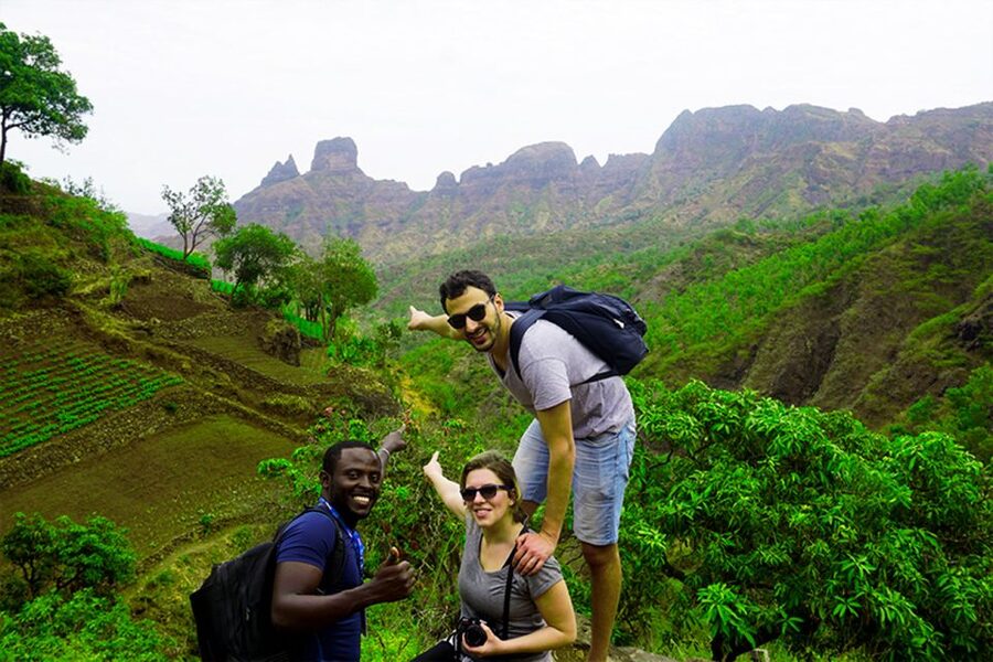
Book this trek if you want to earn Santiago’s views rather than simply drive to them. The best parts are the combination of Longueira’s local stops, the hard-won summit of Pico de Antónia, and the quiet finish in Monte Tchota.
Skip it if you want a relaxed outing or if six hours on a narrow trail sounds excessive. For capable hikers, though, this is a strong full-day choice from Praia, with real effort, useful guiding, and scenery that reaches well beyond Santiago. You can cancel up to 24 hours ahead for a full refund, and booking now with later payment keeps your plans flexible.
FAQ
How much does the Longueira, Pico de Antónia, and Monte Tchota trek cost?
The price is $106 per person. It includes hotel pickup and drop-off in Praia, transport, a guide, a picnic, and liability insurance.
How long does the trek take?
The longer route involves about 6 hours of walking and covers approximately 9 kilometers. The shorter option takes about 4 hours and covers approximately 6 kilometers.
How difficult is the hike?
The longer route is rated very difficult, while the shorter route is rated difficult. Both use narrow, sloping paths and include substantial uphill walking.
What is the highest point reached?
The longer route reaches about 1,390 to 1,394 meters at Pico de Antónia, Santiago’s highest point. The shorter route reaches approximately 1,160 meters.
What should I bring?
Bring a hat, hiking shoes, sunscreen, and water. Hiking trousers are strongly advised from August through November, and walking sticks are highly recommended.
Is a picnic included?
Yes. The picnic includes a sandwich, fruit, and a soft drink.
What languages are available?
The tour is offered in English, Spanish, French, and Portuguese.
Does the tour include hotel transportation?
Yes. Pickup and drop-off at your accommodation in Praia are included.
Just added around the world
- Everest Base Camp Trek★ 5.0 · 3 reviews
- Everest Base Camp Trek★ 5.0 · 7 reviews
- 15 Days Private Everest Base Camp Trek★ 5.0 · 30 reviews
- Everest Base Camp Trek★ 5.0 · 57 reviews
- 14 Days of Adventure Trekking to Everest Base Camp★ 5.0 · 2 reviews
- 14-Day Everest Base Camp Trek★ 5.0 · 20 reviews
- From Kathmandu: Private 14-Day Everest Base Camp Trek★ 5.0 · 20 reviews
- 14 Days Everest Base Camp Trek★ 5.0 · 4 reviews
Trekking Tours, compared.
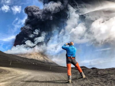
Mount Etna: Trek to 3000m with cable car and 4×4
Read our review →
Mount Batur Sunrise Trek With Guide and Breakfast
Read our review →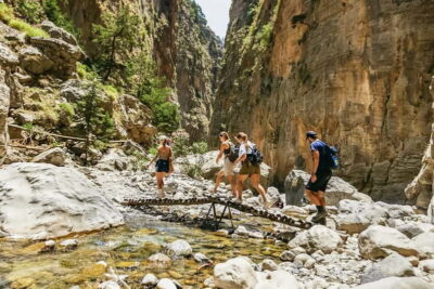
Full-Day Samaria Gorge Trek Excursion & Guide
Read our review →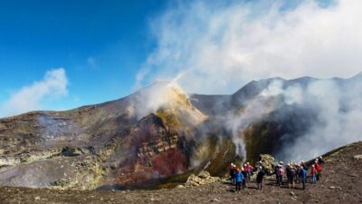
Mount Etna: Summit Crater Trek with Cable Car
Read our review →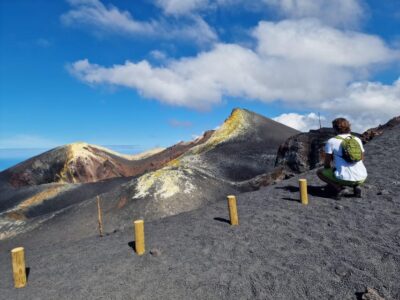
Etna: summit craters trekking with volcano guide 3350mt
Read our review →