
Review · SAPA
From Sapa: Fansipang Mountain Hike 1 Day
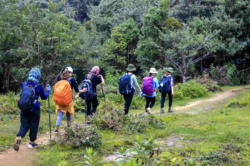
Fansipan is Vietnam’s highest mountain, and this one-day route earns the summit the old-fashioned way: on foot. You leave Sapa around 5:30 am, drive to Tram Ton Pass at about 1,900 meters, then climb through bamboo, cardamom, rhododendron, and mountain streams toward the 3,143-meter top. The final ascent is the tough part, but it also brings the best scenery.
I like the varied forest trail and the practical lunch stop at 2,800 meters. I also like the small summit ritual: a medal and named certificate give the climb a satisfying finish. The main catch is simple: this is a hard day, and the cable car back to Sapa is not included. Guides named Cho and Lucas have received especially warm personal praise, though your guide may be different.
Key points to know before you book
- The hike begins at Tram Ton Pass: You start at roughly 1,900 meters, not in central Sapa, with pickup and drop-off included.
- The trail changes as you climb: Expect bamboo forest, cardamom plants, streams, ancient flower growth, and rhododendrons.
- The hardest section runs from 2,400 to 2,800 meters: The trail rises almost continuously and requires good fitness.
- Lunch comes at 2,800 meters: Your guide prepares a meal before you make the final push.
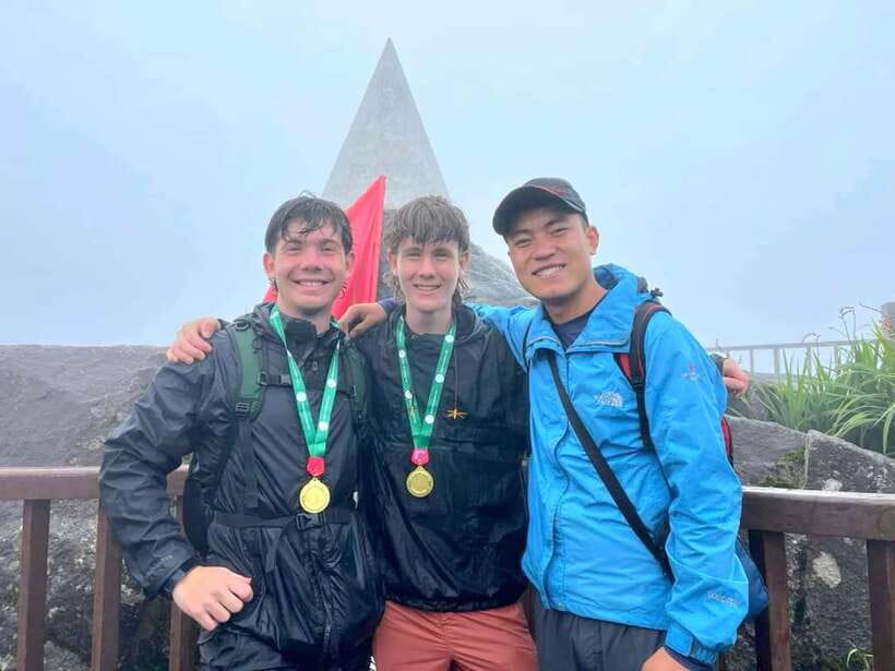
- The summit reaches 3,143 meters: You receive a medal and certificate after completing the challenge.
- The cable car costs extra: You can return by foot or take the cable car from the summit area, followed by included transport to your hotel.
Why this Fansipan hike is worth considering
Fansipan is often called the Roof of Indochina, and this tour gives you a direct way to experience Vietnam’s highest point without spreading the climb over two days. The route is not a casual mountain walk. It is a serious ascent with changing weather, steep ground, and a long day on your feet.
That is also the appeal. You are not simply riding to a viewpoint, taking a photo, and leaving. You work through several forest zones, feel the air turn cooler as you gain height, and watch the trail become more demanding. The summit means more when your legs have done the work.
At $74 per person, the price includes Sapa pickup and drop-off, an English-speaking local guide, lunch, and the medal and certificate. It does not include the cable car. That makes the value fairly good for a visitor who wants a guided climb and does not want to arrange early transport or food independently, but the final cost can rise if you choose the cable car down.
A few more treks around Sa Pa worth a look
- From Sapa: 1-Day Guided Trek to Lao Chai & Ta Van with Lunch
★ 4.9 · 416 reviews - Sapa 1 Day Long Trek: Trek to Hau Thao and Sa Seng Villages
★ 4.6 · 344 reviews - 1-day Authentik trek & Panorama valley views
★ 5.0 · 189 reviews
The 5:30 am pickup and drive to Tram Ton Pass
Your day begins early in Sapa, with pickup scheduled around 5:30 am. That early start matters because the hike itself lasts about 6.5 hours within an overall activity time of roughly eight hours. You will want the full morning and afternoon available, not a slow breakfast followed by a short walk.
The vehicle takes you to Tram Ton Pass, at approximately 1,900 meters above sea level. This starting point saves you from walking up from Sapa town and puts you directly on the mountain route. Pickup and return transport in Sapa are included, which is useful at this hour when arranging your own ride can be awkward.
Before setting off, the guide leads basic warm-up exercises. This is more than a box-ticking routine. Your first hours involve sustained uphill walking, so use the warm-up to loosen your legs and ask any last questions about pace, water, and the return plan.
The tour is offered with a live English-speaking guide. Past participants have singled out guides named Cho and Lucas for kindness and strong support, but the guide assigned to your date may vary. A local guide is valuable here because the route includes different forest areas and the terrain becomes harder to read as the climb continues.
Bamboo, cardamom, and streams from 1,900 to 2,400 meters
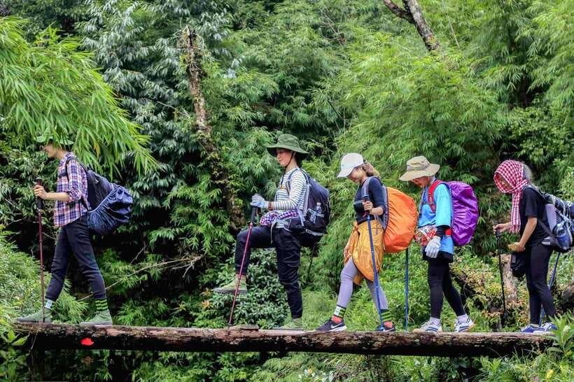
The first section is described as the more manageable part of the hike. From 1,900 to 2,400 meters, you pass through bamboo forest, cardamom forest, older flowering growth, and small streams. The scenery changes often enough to keep the lower section from feeling like a single repetitive climb.
Cardamom is grown by local people in the area, so this part of the trail gives you a glimpse of how the mountain is used, not just admired. The guide also shares information about the forest and animals found there. Do not expect a wildlife-spotting expedition, but listen closely for context about the plants and environment around you.
The streams and forest make this section a good place to take photographs, though you should keep the group moving and protect your equipment from changing weather. Bring a camera if you want one, but also keep your hands free when the trail becomes steep.
The route uses several types of ground. Comfortable shoes are listed as essential, and trekking gear is recommended. Regular trainers may feel inadequate if conditions are wet or uneven, so choose footwear with a secure grip. You should also carry water and snacks. Lunch is provided later, but you still need energy during the climb.
The steep push from 2,400 to 2,800 meters
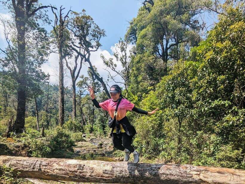
The character of the hike changes above 2,400 meters. The route rises more sharply and is described as almost constantly uphill. This is where a pleasant mountain walk becomes a fitness challenge.
You may notice the effort more quickly at this height, especially if you are not used to sustained uphill walking. The activity is not suitable for children under 12, pregnant women, or people with back, heart, or respiratory problems. Even healthy hikers should be honest about their fitness before booking.
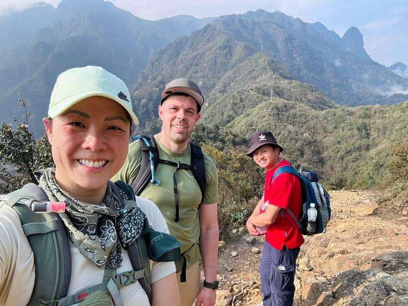
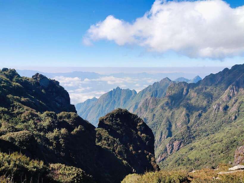
The reward is the scenery. This section passes through rhododendron forest and reaches an especially striking ridge, described as resembling a dinosaur spine. That image tells you what to expect: a more exposed-feeling, dramatic route with the mountain dropping away around the ridge in places. Take care with every step and give yourself time for photographs rather than rushing.
Weather can change quickly on Fansipan. Warm clothing is important even if Sapa feels mild when you leave. A hat, sunscreen, and water are also recommended. The mountain can be cold in winter, and one account specifically describes the trek as cold then. Pack for conditions at the summit, not just the weather outside your hotel.
Same trailhead, a different route:
- Sa Pa: Muong Hoa Valley Trek and Local Ethnic Villages
★ 4.6 · 864 reviews - Sapa: Eco Adventure Terrace Fields and Local Villages Trek
★ 4.9 · 636 reviews - Number one top rated ethical cultural trekking and homestay by ETHOS
★ 5.0 · 456 reviews - Sa Pa Full Day Trekking Tour
★ 5.0 · 414 reviews
Lunch at 2,800 meters before the final climb
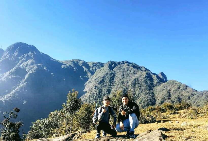
At around 2,800 meters, the group stops for lunch. This is also the overnight area used by people completing the mountain over two days, although this booking is designed as a one-day climb. Your guide prepares the meal, giving you a chance to eat, rest, and take photographs before the final section.
This stop is one of the tour’s practical strengths. A long summit day is much easier when you can pause at a known point rather than eat while walking. Still, do not expect a restaurant meal or extensive menu at altitude. The food is prepared by the guide, and the supplied information refers to lunch as well as snacks such as banh mi in the cost discussion. Bring extra snacks if you know you need frequent fuel.
Use the break sensibly. Eat enough, drink water, and check your warm layers. A long rest can make the next climb feel stiff, so do not linger beyond what your guide recommends. The summit is still ahead.
The final trail to Fansipan’s 3,143-meter summit
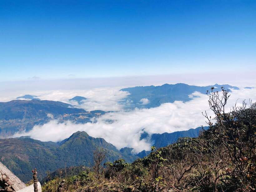
After lunch, the route continues through bamboo and rhododendron forest toward the top. This final section follows the same basic pattern as the rest of the day: uphill walking, thinner-feeling air, and increasingly important pacing.
Reaching the summit is the high point of the day in every sense. At 3,143 meters, Fansipan is Vietnam’s highest mountain. You have time to look around and take photographs, weather permitting. The summit views are one of the strongest reasons to accept the hard climb, with wide mountain scenery and cool air replacing the warmer conditions lower down.
Visibility is not guaranteed. Clouds and changing weather can affect what you see, so keep your expectations flexible. The achievement remains worthwhile even if the views are partly covered. The top is also a popular photo stop, so use your short visit wisely and keep the environment in mind.
Once you complete the challenge, your guide gives you a medal and a certificate with your name. This is a small touch, but it works well after a demanding ascent. It turns the summit into a clear personal milestone rather than just another scenic stop.
Returning to Sapa by trail or cable car
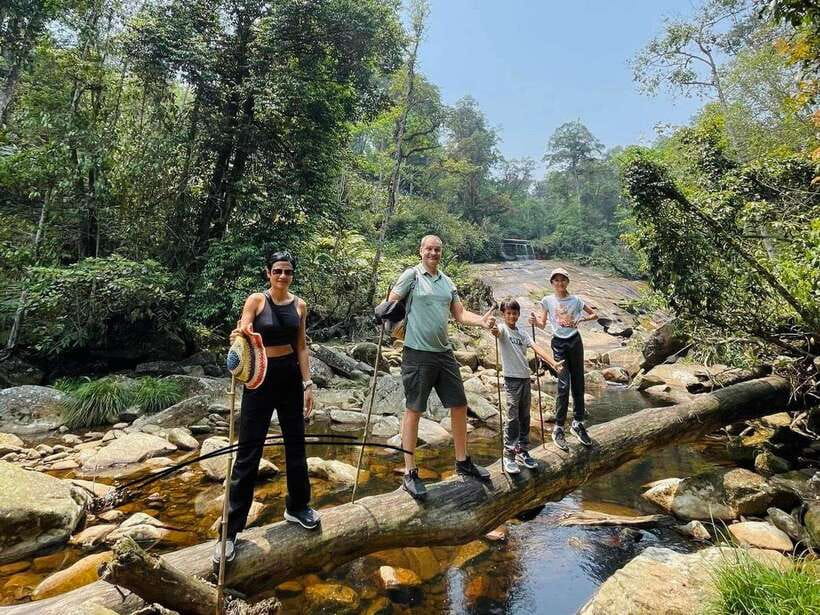
The return plan deserves attention before you book. You have two choices: walk back along the same route with the guide, or take the cable car from the summit area to the station near Sapa.
The walking option avoids an extra ticket and keeps the day fully on foot, but it adds a second long stretch after you have already climbed to the top. Descending can be hard on knees and tired legs. If you choose this option, make sure your footwear is secure and discuss the expected timing with your guide.
The cable car is the easier finish for many people. From the cable-car station near Sapa, the tour transport picks you up and takes you to your hotel. The cable-car ticket is not included, and one booking account put the additional price at more than 30 euros per person. Fares can change, so check the current cost before deciding.
The tour description presents the cable car as an option, not a required part of the booking. In practical terms, however, many hikers may prefer it after the summit. Budget for it if you want to protect your legs and shorten the return. If your main goal is a full mountain challenge and you still have energy, walking back gives you the more complete trek.
What the $74 price really covers
The $74 price is easiest to justify if you value the guide and transport. You do not need to arrange the early ride from Sapa to Tram Ton Pass, find the trail, carry lunch for the day, or plan the return transfer from the cable-car station. The local guide also provides forest information and leads the warm-up and route.
The value is less clear if you mainly want a cheap way to reach the summit. The trail is demanding, the included food is straightforward, and the cable car costs extra. One account judged the price high for what was included, especially once transport, guide, snacks, lunch, and the return cable car were considered.
I would compare the total rather than the headline price. Add the cable car if you expect to use it, then decide if the convenience and support are worth it. For a first Fansipan climb, the price may feel reasonable because the logistics are handled. For a strong independent hiker, it may feel less attractive.
Free cancellation up to 24 hours before the activity and reserve-now, pay-later booking make it easier to commit while watching the forecast. The hike still requires an early start and suitable conditions, so flexibility has real value here.
Who should book this climb
You should consider this tour if you want to reach Vietnam’s highest peak by foot, prefer a local English-speaking guide, and can manage a full day of uphill hiking. It suits fit adults who enjoy natural scenery more than polished sightseeing and who are happy with a simple lunch in the mountains.
It is also a good choice if you want a clear route and included transport from Sapa. The forest zones, streams, ridge section, and summit ceremony give the day more texture than a simple cable-car outing.
You should think twice if you dislike steep climbs, cold weather, long walks, or uncertain mountain views. The hike is not suitable for children under 12, pregnant women, or people with back, heart, or respiratory problems. If you are unsure about your fitness, the one-day schedule is the wrong place to test it.
What to pack for Fansipan
Bring comfortable trekking shoes with good grip, warm clothing, a hat, sunscreen, water, snacks, and a camera. Trekking gear is recommended, and layers are useful because conditions can change between Sapa, the forest, and the summit.
Keep your load light but do not cut back on water or warm clothing. Lunch comes at 2,800 meters, not at the start of the day, so snacks are important for the earlier climb. Respect the forest, local customs, and wildlife, and avoid treating the route as a place to leave rubbish.
Should you book this Fansipan day hike?
Book it if the achievement matters more to you than comfort. You get a proper mountain day, a local guide, forest scenery, lunch at altitude, and a named certificate at the top. The strongest parts are the changing trail and the dramatic final climb, not luxury or speed.
Skip it if you want an easy summit visit or do not want to pay extra for the cable car after a hard ascent. For a fit visitor based in Sapa, this is a solid way to earn Fansipan, provided you budget for the return option and arrive ready for a cold, steep, tiring day.
FAQ
Where does the Fansipan hike begin?
The hike begins at Tram Ton Pass, at about 1,900 meters above sea level. Pickup from Sapa is included.
What time does pickup take place?
Pickup is scheduled for around 5:30 am. Exact starting times should be checked when booking.
How long does the activity last?
The full activity lasts about eight hours. The guided Fansipan hiking portion is listed as approximately 6.5 hours.
How high is Fansipan?
The summit of Fansipan is 3,143 meters high, making it the highest mountain in Vietnam.
Is lunch included?
Yes. Lunch is included and is prepared by the guide at about 2,800 meters.
Is the cable car included?
No. Cable-car tickets are not included in the price. You may return by cable car or walk back along the trail.
Can I return to Sapa on foot?
Yes. You can walk back along the same route with the guide. You can also take the cable car to the station near Sapa, where included transport collects you.
Is the tour suitable for children?
The activity is not suitable for children under 12.
What should I bring?
Bring comfortable shoes, warm clothing, a hat, a camera, sunscreen, water, snacks, and trekking gear. Prepare for changing weather conditions.
Just added around Sa Pa
- Sapa: Private The Most Beautiful Terraced Fields Trekking★ 4.8 · 42 reviews
- Soob Sapa Trekking Tour★ 4.3 · 3 reviews
- Sapa Trekking – Waterfalls And H’mong Villages★ 5.0 · 2 reviews
- Sapa3D2N TrekkingAdventures,Valleys,Bambooforest,Waterfall★ 4.8 · 24 reviews
- Sapa: Trekking Through Terraced Rice Fields & Valley 1 Day★ 4.8 · 4 reviews
- Sapa: Trekking Sapa One Day With Group Tour★ 4.7 · 55 reviews
- Sapa: Y Linh Ho – Lao Chai, and Ta Van Trekking Day Tour★ 5.0 · 25 reviews
- Sapa Trekking Private Tour With Ethnic Female Tour Guide★ 4.9 · 24 reviews
Sapa Trekking Tours, compared.
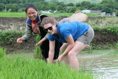
Muong Hoa Valley Trek and Local Ethnic Villages
Read our review →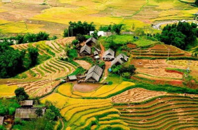
Eco Adventure Terrace Fields and Local Villages Trek
Read our review →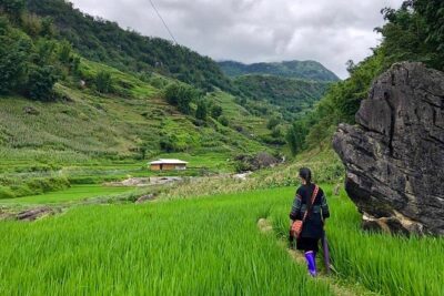
Number one top rated ethical cultural trekking and homestay by ETHOS
Read our review →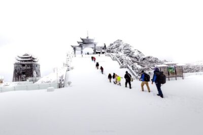
1-Day Guided Trek to Lao Chai & Ta Van with Lunch
Read our review →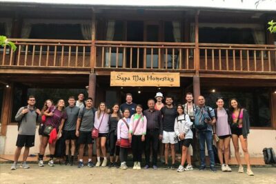
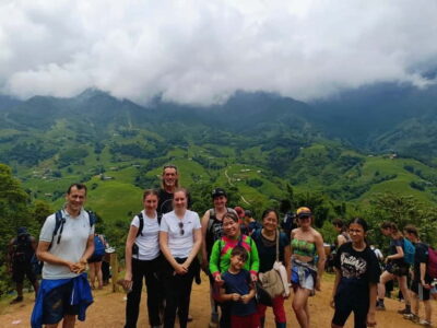
Sapa 1 Day Long Trek: Trek to Hau Thao and Sa Seng Villages
Read our review →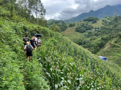
Explore Sapa by TrekkingAdventures, Mountain,Rice fields
Read our review →
EXPLORE SAPA: 2D1N TREKKING & HMONG CULTURE WITH DINH
Read our review →Browse the lists this trek appears in